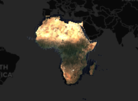
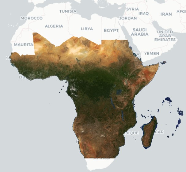
Digital Earth Africa Data & Products
Digital Earth Africa héberge un référentiel d’ensembles de données d’observation de la Terre couvrant l’Afrique continentale.
Jump to: DE Africa Continental Services | External Datasets
Service continentaux de DE Africa
Les services continentaux de Digital Earth Africa sont des résultats à l’échelle continentale produits par Digital Earth Africa à partir de diverses combinaisons d’ensembles de données externes à l’aide de techniques de modélisation et de calcul spécifiées, avec validation également effectuée. Les services continentaux sont fournis avec des niveaux de mise à jour et de latence spécifiés et peuvent être continuellement mis à jour à mesure que des ensembles de données externes deviennent disponibles.
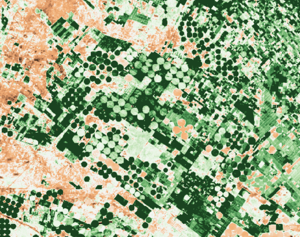
Agriculture
Côtier
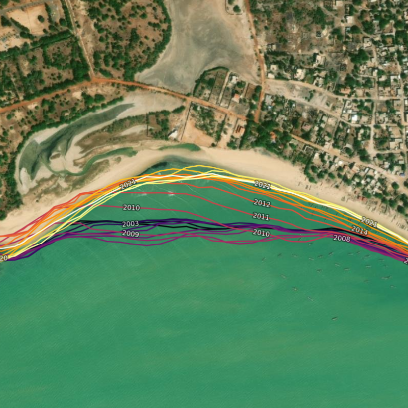
Spécifications des côtes
Littoraux annuels et taux de changement côtier le long de l’ensemble du littoral africain à une résolution de 30 m de 2000 à aujourd’hui.
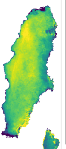
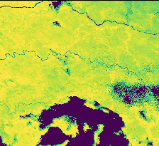
Geomedians
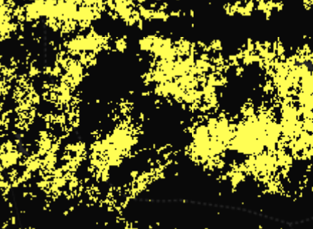
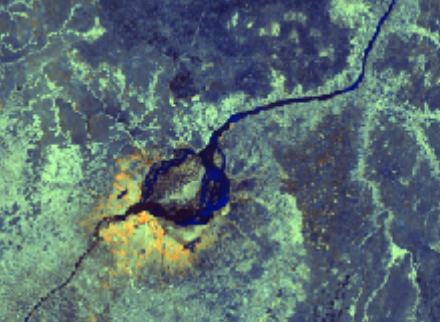
Eaux de surface
Spécifications_de_Landsat_WOfS
Observations individuelles, annuelles et historiques de l’eau.
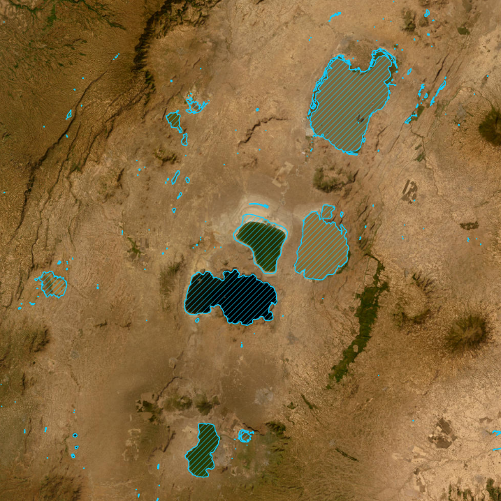
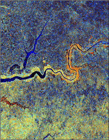
Spécifications des plans d’eau
Une collection continentale de localisations de plans d’eau africains et de changements de superficie à une résolution de 30 m de 1987 à nos jours.
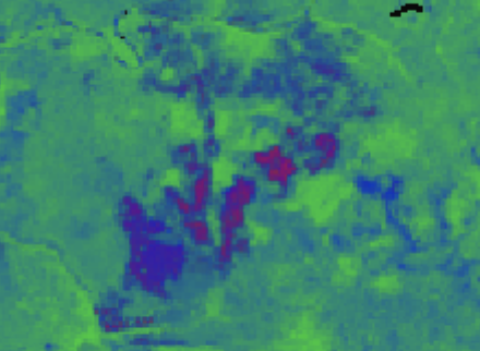
Water Quality Monitoring Service (WQMS)
Annual water quality maps for African water bodies from 2000.
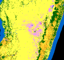
Végétation
Spécifications_de_couverture_fractionnelle
Végétation verte, végétation non verte et sol nu pour chaque image Landsat.
Spécifications_d’anomalies_NDVI
Cartographie mensuelle de l’état de la végétation par rapport à la ligne de base à long terme.
Spécifications_de_climatologie_NDVI
État moyen de la végétation à long terme (NDVI) pour chaque pixel Landsat sur le continent africain.
Plus de
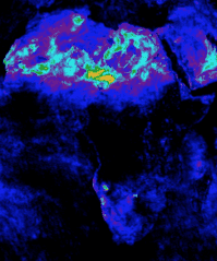
Élévation et topographie
NASA version 3.0 Shuttle Radar Topography Mission (SRTM) global 1 arc second (~30 mètres) DEM et dérivés SRTM DEM de Digital Earth Africa.
Ensembles de données externes
Les ensembles de données externes sont des ensembles de données qui sont mis à disposition de et au sein de Digital Earth Africa, mais qui ne sont pas produits ou maintenus par Digital Earth Africa.
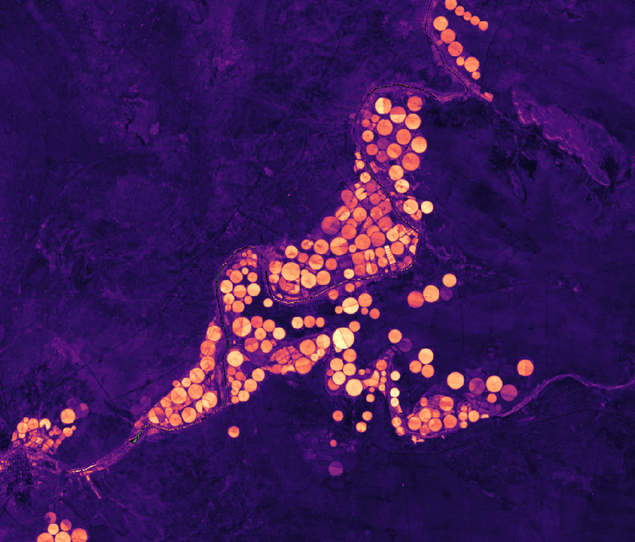
Agriculture
WaPOR, la télédétection au service de la productivité de l’eau
L’enquête sur la productivité de l’eau grâce à l’accès libre aux données dérivées de la télédétection (WaPOR) surveille et rend compte de la productivité de l’eau agricole grâce à des mesures biophysiques axées sur l’Afrique et le Proche-Orient, produites par la FAO.
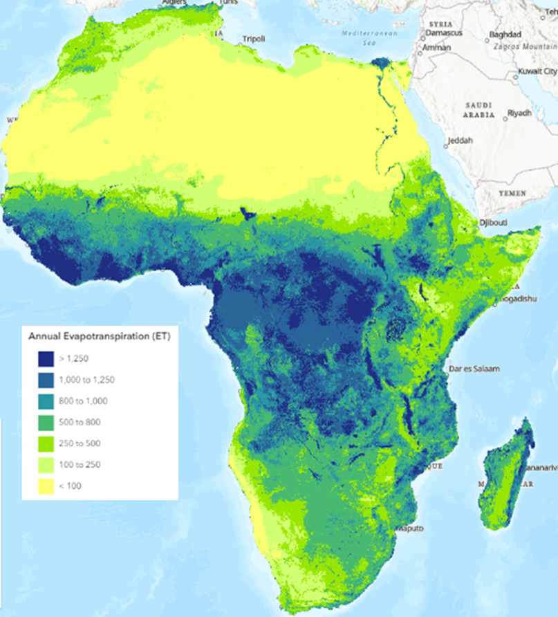
IWMI Evapotranspiration Products
Blue ET measures water use from irrigation, while Green ET captures rainfall-driven evapotranspiration—both are key for sustainable water management.
The WorldCereal provides seasonal cropland and crop-type maps derived from high-resolution satellite observations, enabling consistent monitoring of agricultural land use and production.
Élévation et topographie
Modèle numérique d’objets (MNE) de Copernic (COP-DEM)
Modèle numérique d’élévation Corpenicus avec une couverture mondiale limitée à 30 mètres et une couverture mondiale à une résolution spatiale de 90 mètres.
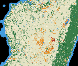
Couverture du sol
Spécifications_de_couverture_du_terrain_CCI
Couverture terrestre de l’Initiative sur les changements climatiques de l’ESA à une résolution de 300 m.
Couverture terrestre mondiale du service mondial Copernicus à une résolution spatiale de 100 m
Couches annuelles de couverture terrestre du Copernicus Global Land Service à une résolution spatiale de 100 m.
Spécifications_ESA_WorldCover
Carte mondiale de la couverture terrestre de l’ESA WorldCover à une résolution de 10 m.
Utilisation du sol à l’échelle mondiale ESRI
Série chronologique de l’utilisation des terres à l’échelle mondiale avec une résolution de 10 mètres d’ESRI.
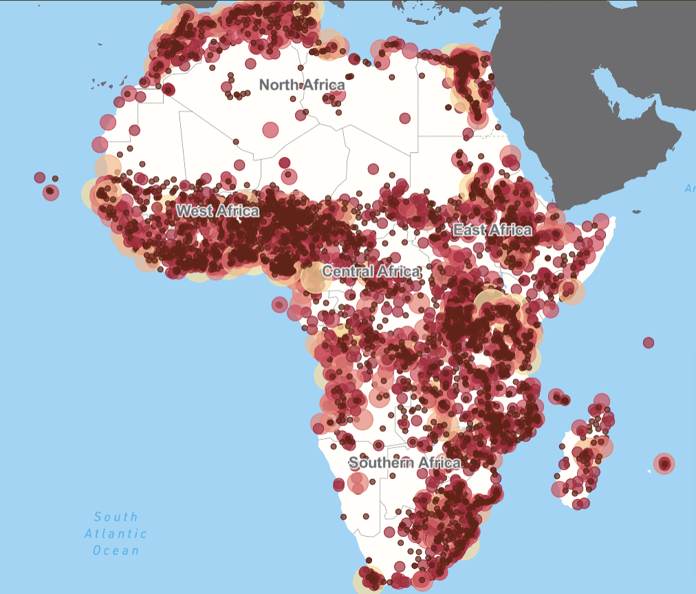
OCDE/CSAO Africapolis avec indicateurs d’espaces verts
Le Club du Sahel et de l’Afrique de l’Ouest de l’OCDE a créé Africapolis pour fournir une base de données géospatiales standardisée indispensable sur la dynamique de l’urbanisation en Afrique, dans le but de rendre les données urbaines en Afrique comparables entre les pays et dans le temps.
Météorologie
Estimations des précipitations (CHIRPS)
Estimations quotidiennes et mensuelles des précipitations à partir d’observations pluviométriques et satellitaires.
Spécifications_des_données_climatiques_ERA5
Produit de réanalyse du climat mondial ERA5 par le Copernicus Climate Change Service (C3S) de l’ECMWF.
Images satellites
Spécifications_du_Landsat_C2_SR
Images satellites quotidiennes de Landsat 5, 7, 8 et 9.
Plus de

Spécifications_du_Landsat_C2_ST
Température de surface de Landsat 5, 7, 8 et 9.
Plus de
Sentinel-5P monitors atmospheric composition with daily ~7 km trace-gas and aerosol products, supporting air-quality and pollution analysis..
Mosaïque d’images satellites
Spécifications_annuelles_de_la_mosaïque_ALOS_PALSAR
Mosaïques annuelles du radar à synthèse d’ouverture de la JAXA.
Spécifications_de_la_mosaïque_mensuelle_Sentinel-1
La mosaïque mensuelle Sentinel-1 permet une analyse facile des séries chronologiques, seules ou combinées avec d’autres ensembles de données.
:doc:`Plus de <Sentinel 1_Monthly_Mosaic_specs>`mosaïque_mensuelle_Sentinel-1”
Spécifications_Planet_NICFI
Les mosaïques visuelles Planet NICFI fournissent des images optimisées en couleurs réelles, ce qui les rend idéales pour l’affichage visuel et l’interprétation.
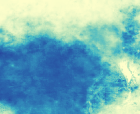
Eaux de surface
Copernicus Global Land Service - Lake Water Quality
Provides a semi-continuous water quality observation record for medium and large-sized lakes across Africa.
urbain
Spécifications_de_l’empreinte_de_la_colonie_mondiale
L’empreinte mondiale des établissements (WSF) est un masque binaire d’une résolution de 10 m décrivant l’étendue des établissements humains à l’échelle mondiale pour les années 2015 et 2019 sur la base de plusieurs ensembles de données, et l’évolution de l’empreinte mondiale des établissements montre la croissance annuelle des établissements humains à l’échelle mondiale à une résolution de 30 m.
Végétation
Spécifications_de_Global_Mangrove_Watch
Carte de référence mondiale des mangroves de Global Mangrove Watch pour 2010 et cartes des changements pour 1996, 2007, 2008, 2009, 2015 - 2020.
Sol
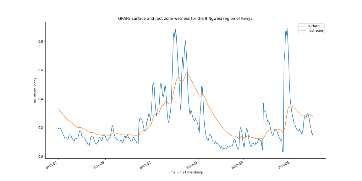
Système mondial d’analyse et de prévision de l’humidité de la zone racinaire (GRAFS)
Système mondial d’analyse et de prévision de l’humidité de la zone racinaire (GRAFS) par le Centre de dynamique de l’eau et du paysage de l’ANU.
À propos des données
Comment les niveaux de données de la collection Landsat 2 sont utilisés dans Digital Earth Africa.
Si vous avez des commentaires sur les données et services DE Africa, veuillez nous contacter à l’adresse helpdesk@digitalearthafrica.org.