Digital Earth Africa Data & Products
Digital Earth Africa hosts a repository of Earth observation datasets spanning continental Africa.
Jump to: DE Africa Continental Services | External Datasets
DE Africa Continental Services
Digital Earth Africa Continental services are continental-scale outputs that are produced by Digital Earth Africa from various combinations of the external datasets using specified modelling and calculation techniques, with validation also undertaken. Continental Services are provided with specified levels of update and latency and may be continuously updated as external datasets become available.
Agriculture
Coastal
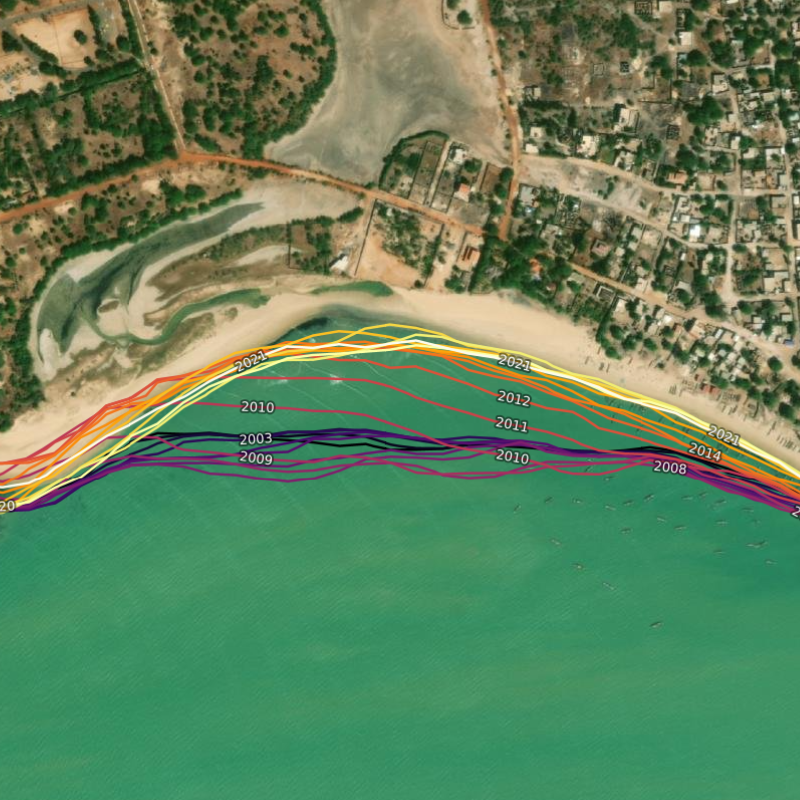
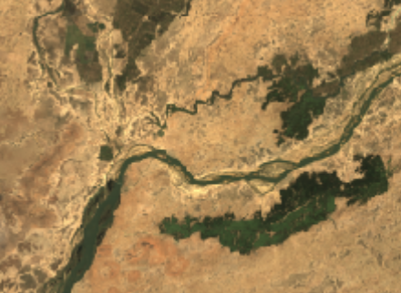
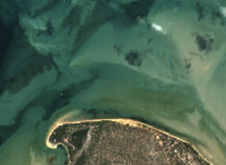
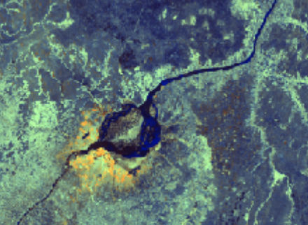
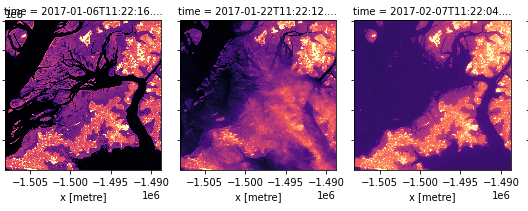
Annual shorelines and rates of coastal change along the entire African coastline at a 30 m resolution from 2000 to present.
Geomedians
Surface water
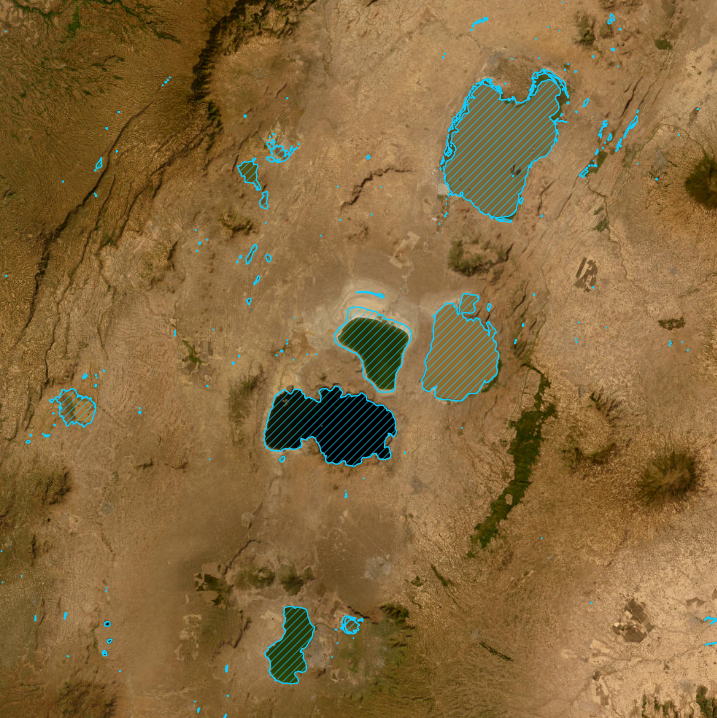
Waterbodies Monitoring (historical extent and surface area time series)
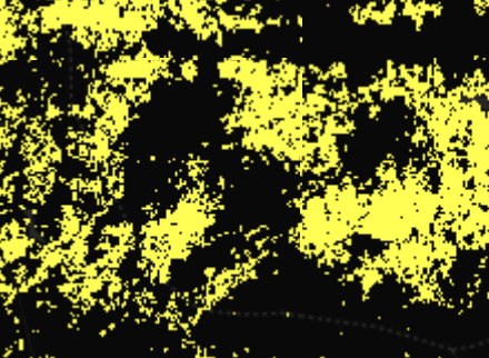
A continental collection of African water bodies locations and surface area change at a 30m resolution from 1987 to present.

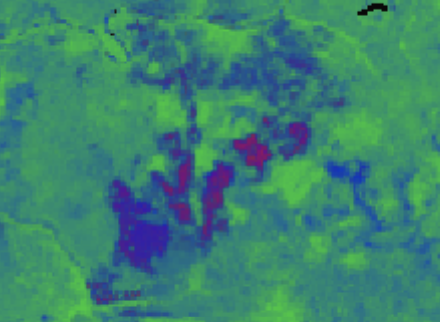
Water Quality Monitoring Service (WQMS)
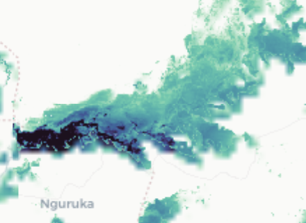
Annual water quality maps for African water bodies from 2000.
Vegetation
Monthly Normalised Difference Vegetation Index (NDVI) Anomaly
Monthly mapping of vegetation condition against the long-term baseline.
Normalised Difference Vegetation Index (NDVI) Climatology
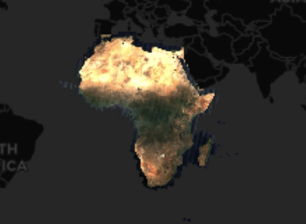
Long-term average vegetation condition (NDVI) for every Landsat pixel over the African continent.
Elevation and topography
NASA version 3.0 Shuttle Radar Topography Mission (SRTM) global 1 arc second (~30 metre) DEM and Digital Earth Africa SRTM DEM Derivatives.
External Datasets
External Datasets are datasets that are made available to, and within Digital Earth Africa, but are not produced or maintained by Digital Earth Africa.
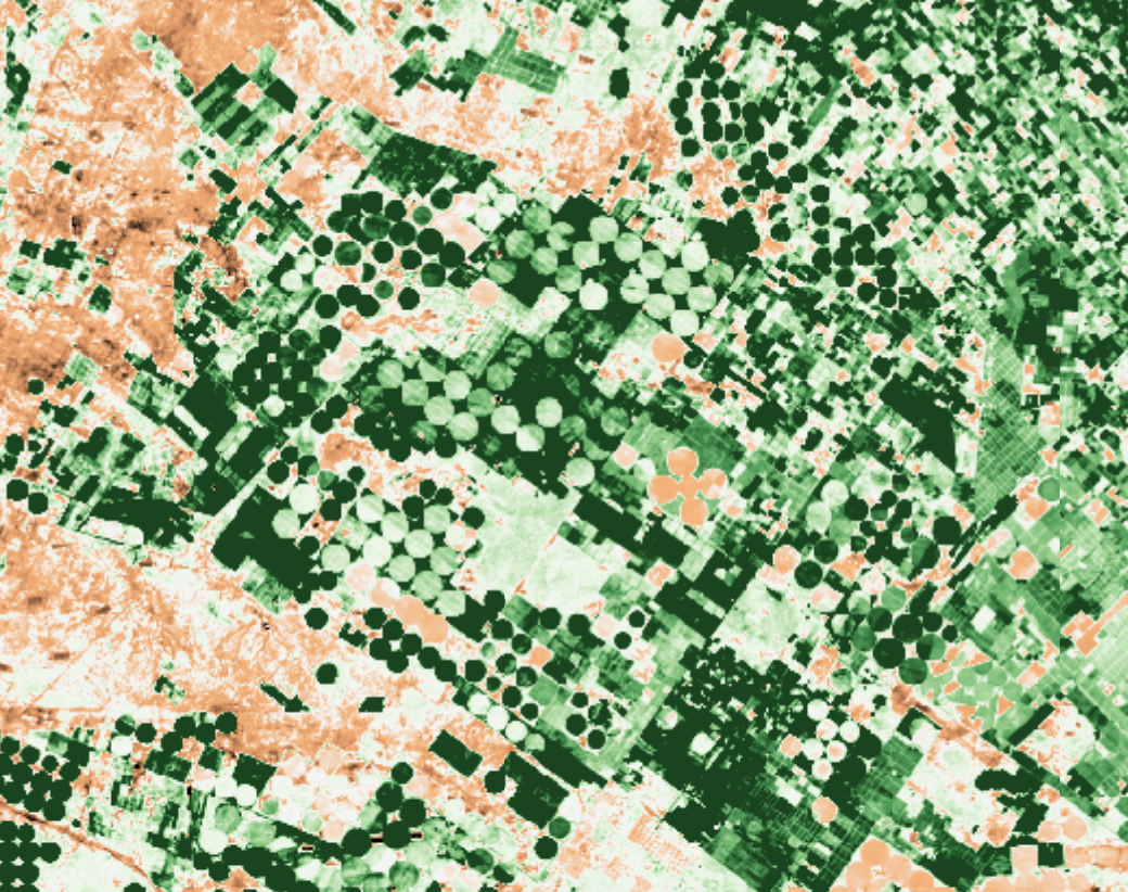
Agriculture

WaPOR, remote sensing for water productivity
The Water Productivity through Open access of Remotely sensed derived data (WaPOR) monitors and reports on agricultural water productivity through biophysical measures with a focus on Africa and the Near East, produced by the FAO.

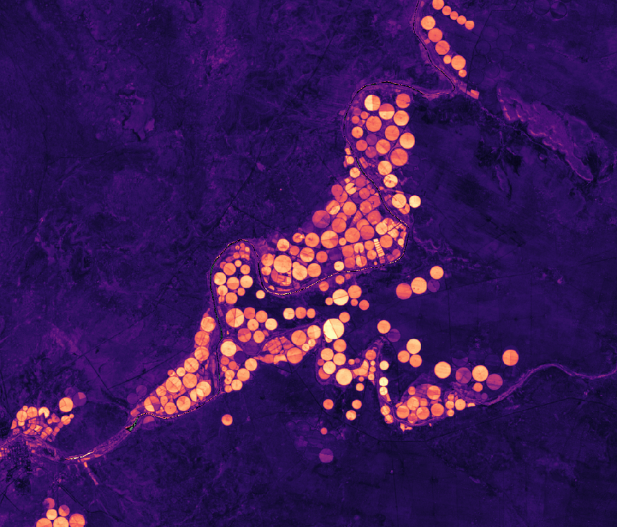
IWMI Evapotranspiration Products
Blue ET measures water use from irrigation, while Green ET captures rainfall-driven evapotranspiration—both are key for sustainable water management.

The WorldCereal provides seasonal cropland and crop-type maps derived from high-resolution satellite observations, enabling consistent monitoring of agricultural land use and production.
Elevation and topography
Corpenicus Digital Elevation Model with limited worldwide coverage at 30 metres and global coverage at 90 metres spatial resolution.
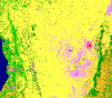
Land Cover
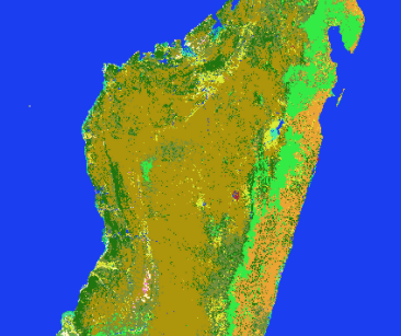
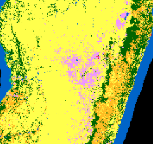
ESA Climate Change Initiative Land Cover at 300m spatial resolution
ESA Climate Change Initiative Land Cover at 300 m resolution.
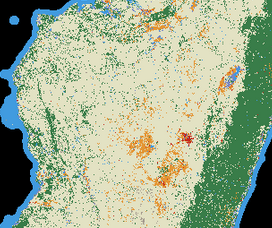
Copernicus Global Land Service Global Land Cover at 100m spatial resolution
Copernicus Global Land Service annual land cover layers at 100 m spatial resolution.

OECD/SWAC Africapolis with green space indicators
OECD Sahel and West Africa Club created Africapolis to provide a much needed standardised geospatial database on urbanisation dynamics in Africa, with the aim of making urban data in Africa comparable across countries and across time.
Meteorology
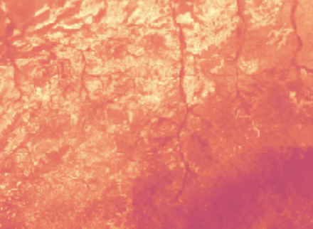
Daily and monthly rainfall estimates from rain gauge and satellite observations.
ERA5 global climate reanalysis product by the Copernicus Climate Change Service (C3S) at the ECMWF.
Satellite images


Sentinel-5P monitors atmospheric composition with daily ~7 km trace-gas and aerosol products, supporting air-quality and pollution analysis..
Satellite Image Mosaic
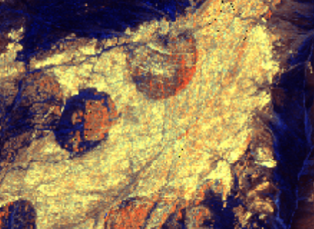
ALOS PALSAR, ALOS-2 PALSAR-2 and JERS-1 SAR Annual Mosaic
Synthetic Aperture Radar annual mosaics from JAXA.

Sentinel-1 Monthly Mosaics enables easy time series analysis, either alone or combined with other datasets.

Planet NICFI visual mosaics provide optimized, true-color imagery, making them ideal for visual display and interpretation.
Surface water

Copernicus Global Land Service - Lake Water Quality
Provides a semi-continuous water quality observation record for medium and large-sized lakes across Africa.
Urban
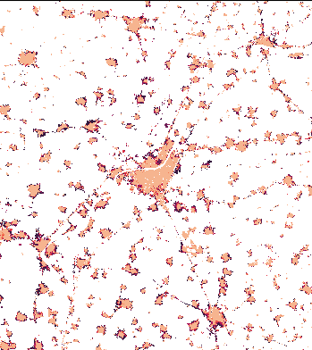
The World Settlement Footprint WSF is a 10m-resolution binary mask outlining the extent of human settlements globally for the years 2015 and 2019 based on multiple datasets, and the World Settlement Footprint Evolution shows the annual growth of human settlements globally at 30m-resolution.
Vegetation
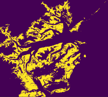
Global Mangrove Watch global baseline map of mangroves for 2010 and change maps for 1996, 2007, 2008, 2009, 2015 - 2020.
Soil

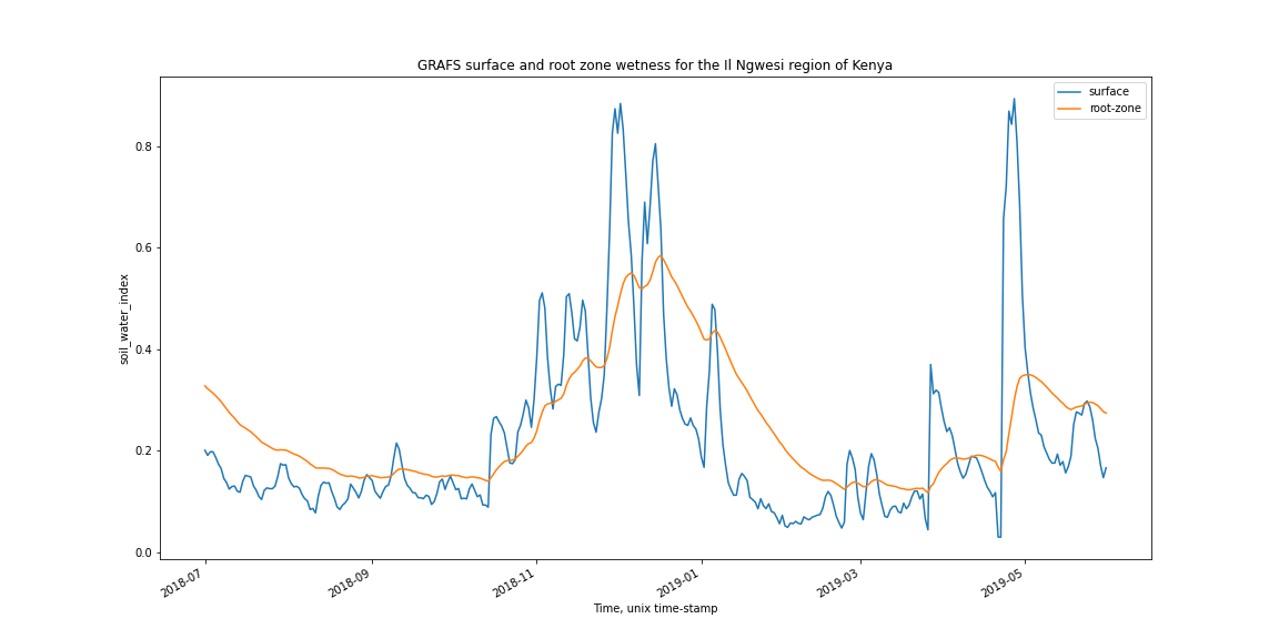
Global Root-zone moisture Analysis & Forecasting System (GRAFS)
Global Root-zone moisture Analysis & Forecasting System (GRAFS) by the ANU Centre for Water and Landscape Dynamics.
About the data
How Landsat Collection 2 data tiers are used in Digital Earth Africa.
If you have any feedback for the DE Africa data and services, please contact us at helpdesk@digitalearthafrica.org.