Digital Earth Africa Platforms
Digital Earth Africa offers a suite of platforms that enable users to access and interact with its datasets
Digital Earth Africa Map
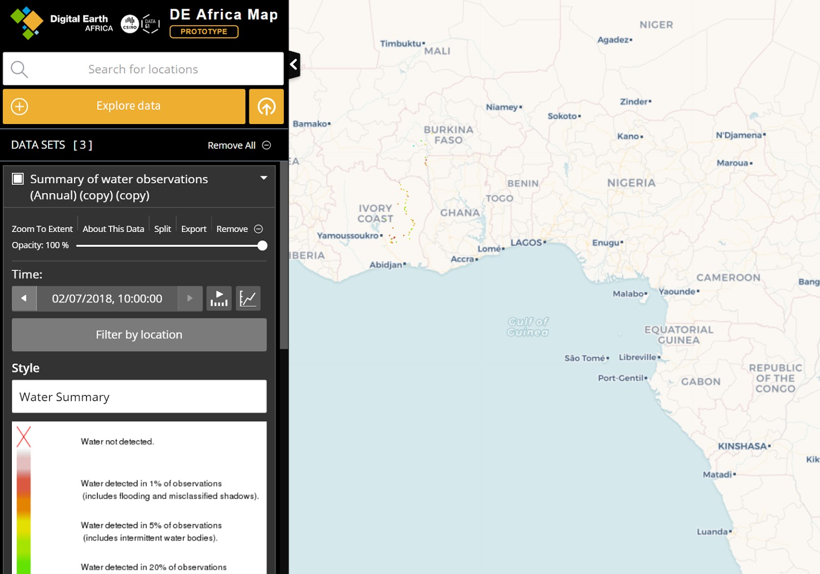
The Digital Earth Africa interactive visualisation map provides users with the tools to visualise satellite images and decision ready data over the African continent.
Digital Earth Africa Sandbox
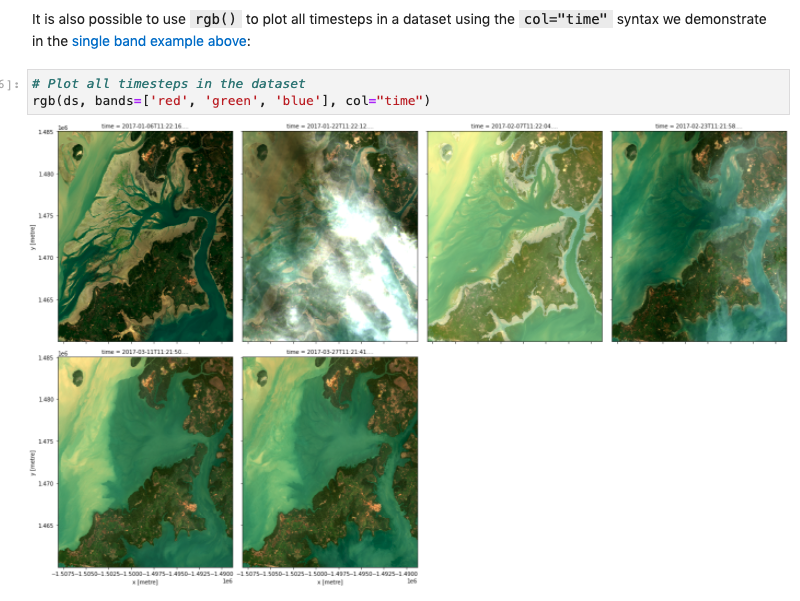
The Digital Earth Africa Sandbox is a cloud-based computational platform that operates through a Jupyter Lab environment.
Digital Earth Africa Metadata Explorer
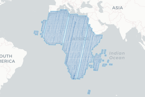
The Digital Earth Africa Metadata Explorer is a website that uses the Open Data Cube to inspect metadata for Digital Earth Africa services and datasets.
Africa GeoPortal (Esri)

Esri’s Africa GeoPortal uses imagery from Digital Earth Africa to provide free geospatial tools, data and training for users working on African geospatial challenges.
Cube in the Box
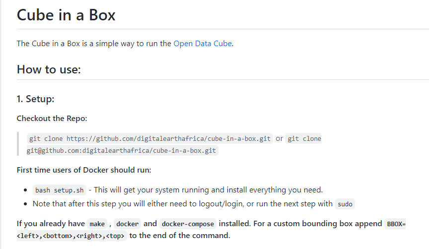
The Cube-in-a-Box is a convenient, pre-configured solution that allows users to easily set up and run the Open Data Cube on their local machine.