Data Catalogue
Digital Earth Africa hosts a repository of Earth observation datasets spanning continental Africa.
Satellite images
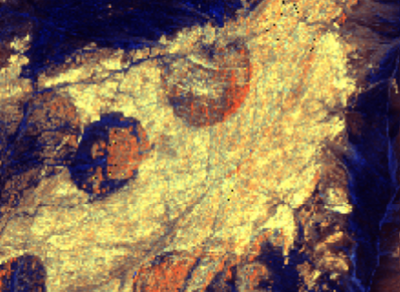
Surface reflectance
Surface temperature
Radar backscatter
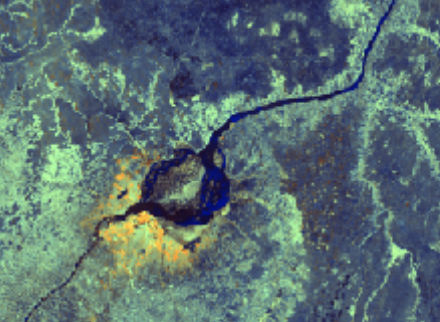
ALOS PALSAR, ALOS-2 PALSAR-2 and JERS-1 SAR Annual Mosaic
Synthetic Aperture Radar annual mosaics from JAXA.
Land and water
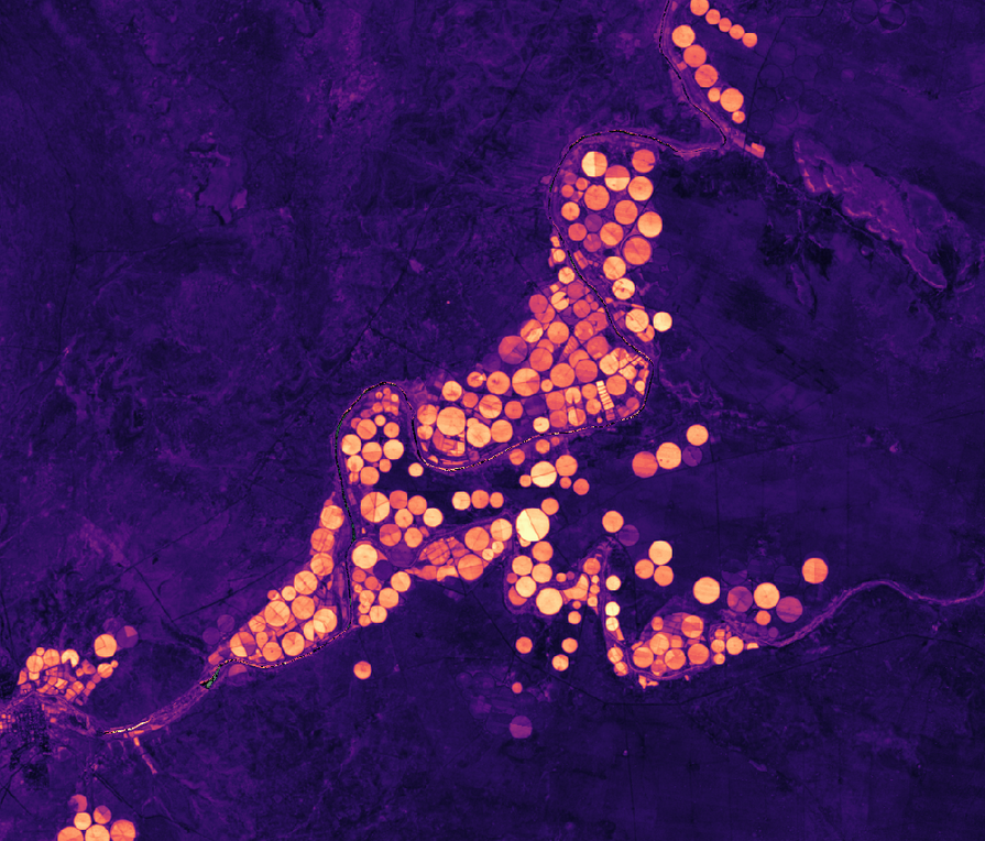
Normalised Difference Vegetation Index (NDVI) Climatology
Long-term average vegetation condition (NDVI) for every Landsat pixel over the African continent.
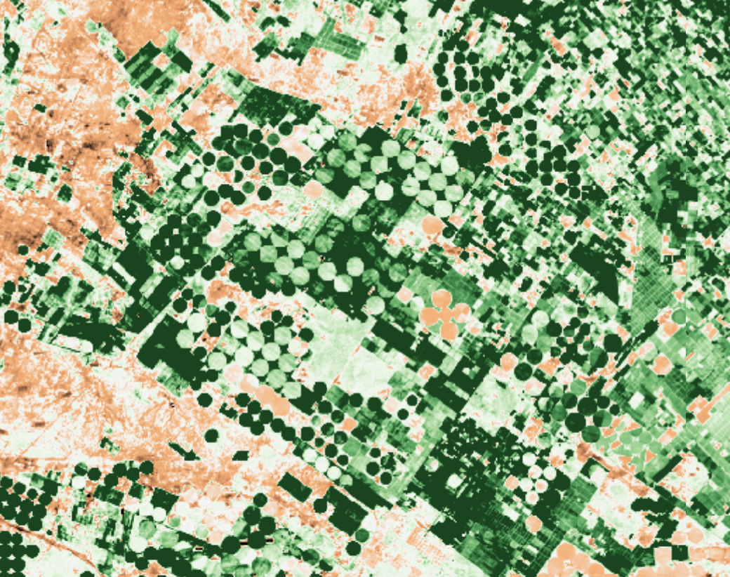
Monthly Normalised Difference Vegetation Index (NDVI) Anomaly
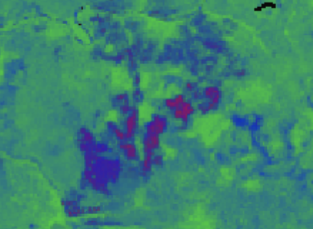
Monthly mapping of vegetation condition against the long-term baseline.

Daily and monthly rainfall estimates from rain gauge and satellite observations.
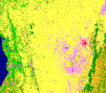
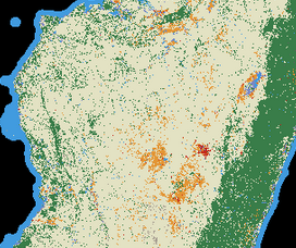
Copernicus Global Land Service Global Land Cover at 100m spatial resolution
Copernicus Global Land Service annual land cover layers at 100 m spatial resolution.
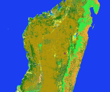
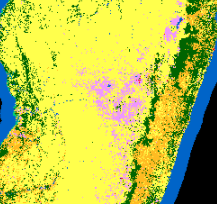
ESA Climate Change Initiative Land Cover at 300m spatial resolution
ESA Climate Change Initiative Land Cover at 300 m resolution.
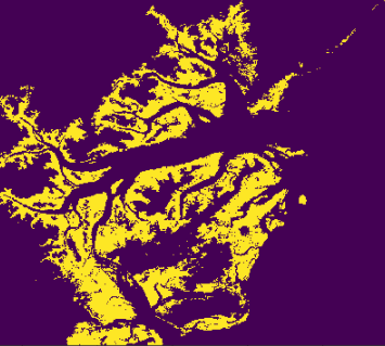
Global Mangrove Watch global baseline map of mangroves for 2010 and change maps for 1996, 2007, 2008, 2009, 2015 and 2016.
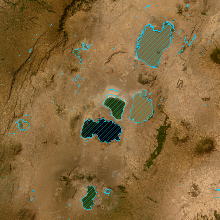
DE Africa Waterbodies: A Waterbodies Monitoring Service
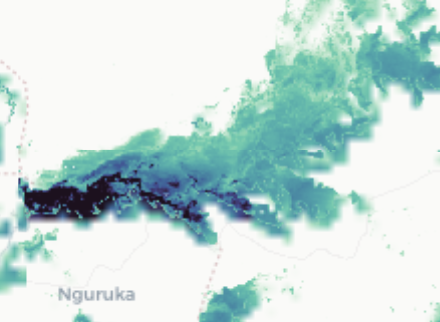
A continental collection of African water bodies locations and surface area change at a 30m resolution from 1987 to present.
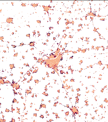
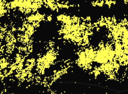
The World Settlement Footprint WSF is a 10m-resolution binary mask outlining the extent of human settlements globally for the years 2015 and 2019 based on multiple datasets, and the World Settlement Footprint Evolution shows the annual growth of human settlements globally at 30m-resolution.
Coastal
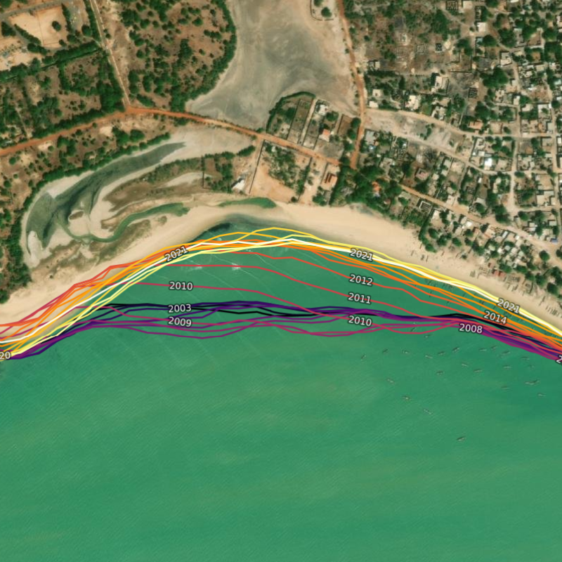
DE Africa Coastlines: A Coastline Monitoring Service
Annual shorelines and rates of coastal change along the entire African coastline at a 30 m resolution from 2000 to 2021.
Elevation

Corpenicus Digital Elevation Model with limited worldwide coverage at 30 metres and global coverage at 90 metres spatial resolution.

NASA version 3.0 Shuttle Radar Topography Mission (SRTM) global 1 arc second (~30 metre) DEM and Digital Earth Africa SRTM DEM Derivatives.
External Datasets
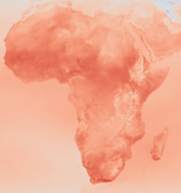
ERA5 global climate reanalysis product by the Copernicus Climate Change Service (C3S) at the ECMWF.
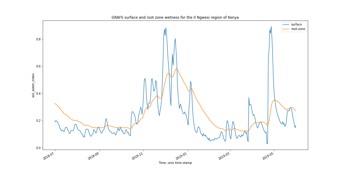
Global Root-zone moisture Analysis & Forecasting System (GRAFS)
Global Root-zone moisture Analysis & Forecasting System (GRAFS) by the ANU Centre for Water and Landscape Dynamics.
About the data
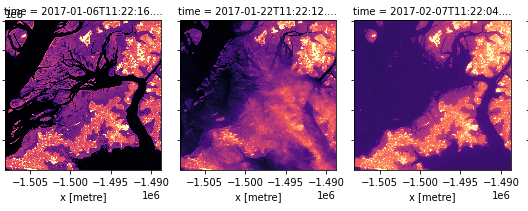
How Landsat Collection 2 data tiers are used in Digital Earth Africa.
If you have any feedback for the DE Africa data and services, please contact us at helpdesk@digitalearthafrica.org.
